Drone Solar Topographic Mapping Service
Topographic Mapping
Get the maps you need faster than ever before.

About
We all know the old adage - fast or accurate, choose one. Prioritizing speed or accuracy is a tough choice, but what if you could have both?
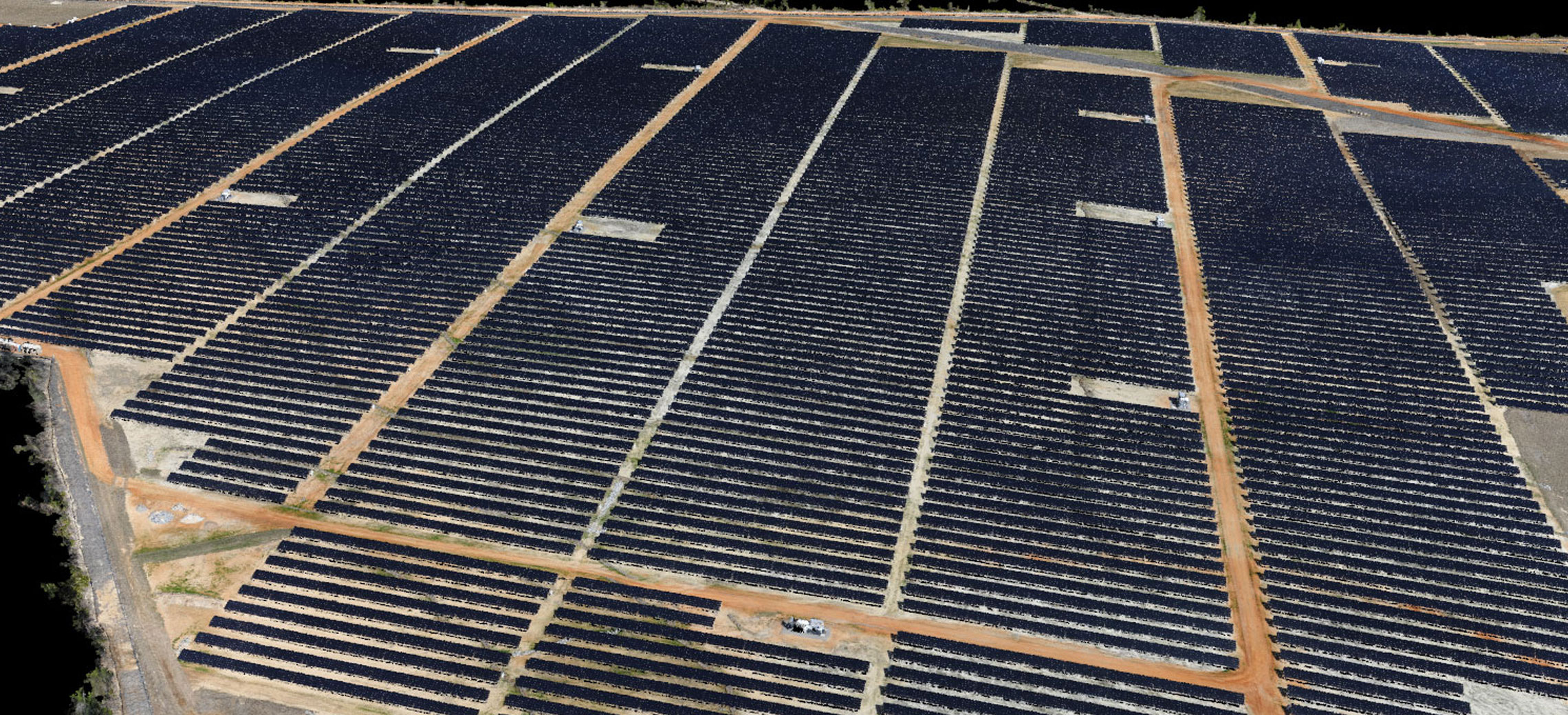
For projects spanning tens, hundreds or thousands of acres (or more), drones are a better tool for mapping than traditional methods, generating accurate, repeatable results significantly faster than conventional ground-based approaches.
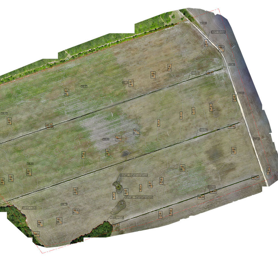
Combined with high-resolution orthomosaics, the final product is both aesthetically superior and provides a faster turnaround time than traditionally derived line drawings.
Details
Avoid project delays due to slow turnover on surveys - Precision XYZ's Topographic Mapping service, combined with a network of experienced Professional Land Surveyors, gets your engineering team the accurate data they need to get to work quickly and efficiently.
Get The Maps You Need - fast

Surveyors with drones can now map new locations down to millimeter-level accuracy and generate a complete topo map in days rather than weeks or months. Precision XYZ works under the guidance of licensed PLS' to deliver surveys compliant with both regional and national requirements.
Get The Quality You Demand

Precision XYZ is not a survey firm, nor are we an engineering firm. We understand the time-sensitive nature of development work as well as the need for accurate, survey - grade data. That's why we work directly with surveyors licensed to operate in your region to ensure that your final product meets the most rigorous engineering and legal requirements.
Benefits & Features
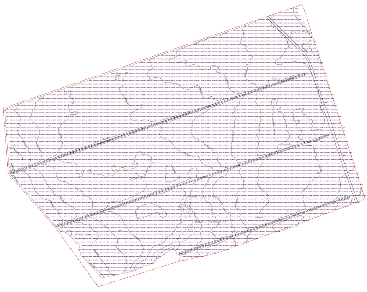
Accurate CAD documents, delivered quickly
Get your engineering team to work on your project facility faster
Simple and efficient engagement process
Rapid turnaround - most projects within 5 business days
High accuracy - 3cm horizontal and 5cm vertical, ADA compliant
Industry standard formats for every engineering need - DEM, DTM, XYZ, LAS, PDF, DWG and DXF
Why should I pick PXYZ?
Exclusively Focused on the Solar Industry
PXYZ was founded by experts in energy, aviation and technology. As experienced business people first, we understand the value of speed, accuracy and efficiency.
Secure Robotics
All of PXYZ's robotics are secure and approved for use at or near sensitive government airspace.
Superior Flight Operations
From military bases to active airfields and even prisons - if it can be flown legally we can get the clearance.
Fast Data Processing
PXYZ's software and engineers are able to turn over project deliverables with industry leading turnaround times.
Lower Costs, Better Data
Leveraging PXYZ's robotics and software drives down costs and manpower needs while increasing output data points.
Deep Financial Understanding
Only PXYZ provides a comprehensive financial analysis of your asset, ensuring you focus on the highest impact areas.
Precision XYZ Reviews

5 Star Reviews

Topographic Mapping
"Precision XYZ was able to deliver accurate topographic maps faster and more affordably than we have typically received on past projects. The engagement process was easy and the turnaround time was incredibly quick."
- Stephen Smith
Solvida Engineering

Topographic Mapping
"Project Gemini will be North America's largest solar power plant at just under 700MW of capacity. This project required both accuracy and speed, something that Precision XYZ executed perfectly. We would definitely recommend them to other developers."
- Ricardo Graf
Arevia Power

Progress Monitoring
"Precision XYZ has been very responsive. Their Site Progress Monitoring solution has been a big boon to getting a better handle on our projects. The visuals alone are very helpful, but with their metric driven system tied to daily financials it’s helped us directly manage our projects."
- Jeff Calabro
ArrayCon
*Actual customer testimonials. Photos are illustrative only.
Successful solar projects start here.
Get in touch with us now and find out how to really get your solar project off the ground.