Drone Data Service Provider | Drone Inspection & Survey
Solar site development made easy.
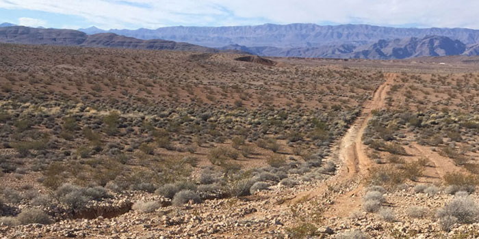
Rapidly get the site development information you need. Avoid costly issues.
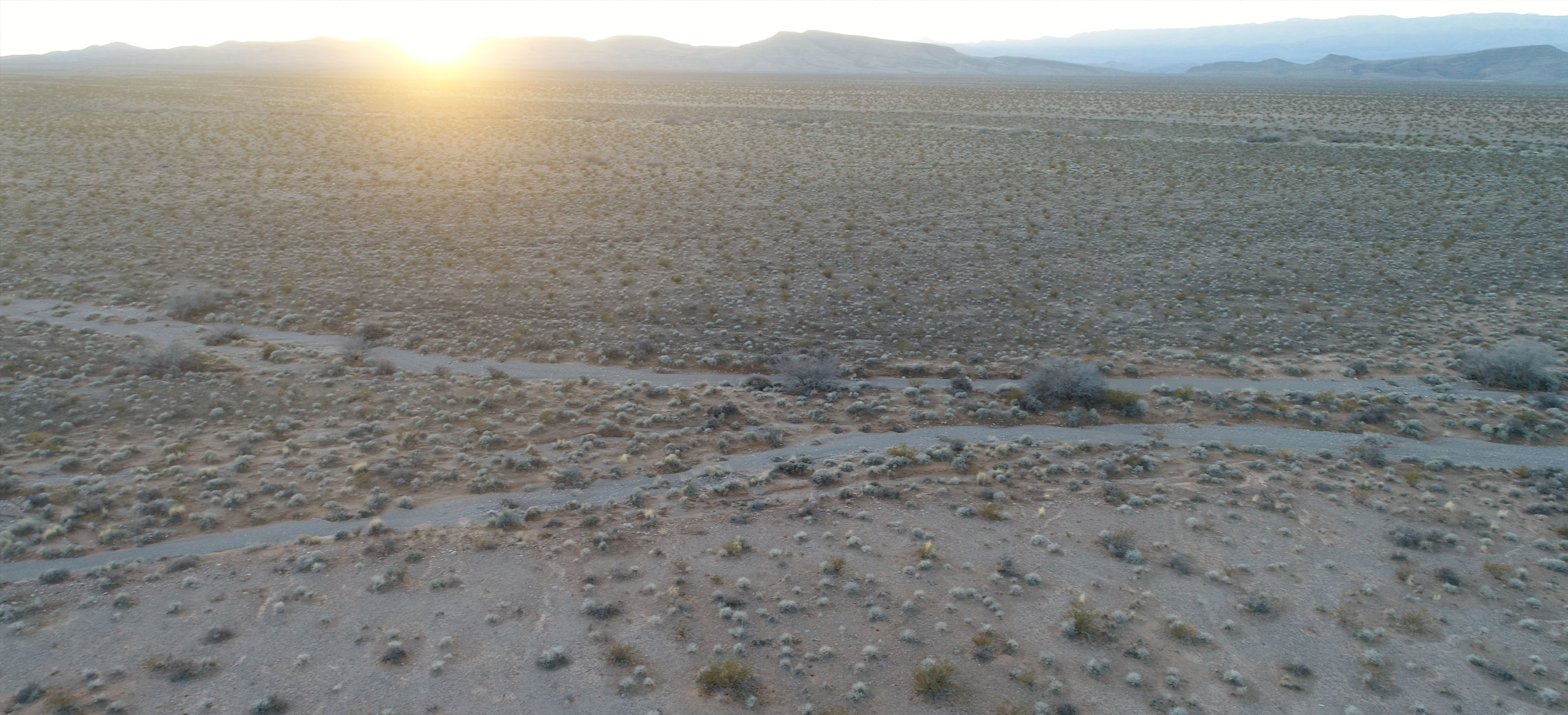
PXYZ helps solar site development save money, increase speed, and make better decisions.
Fast Site Assessments
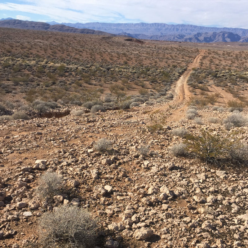
With Precision, you can reduce the time required to assess your site by up to 60% when compared with traditional, costly boots-on-the-ground approaches. And with our Air-2-Ground software, you and your team will have access to mapping results faster and more easily than ever before.
Lower Costs
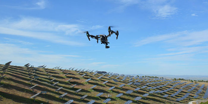
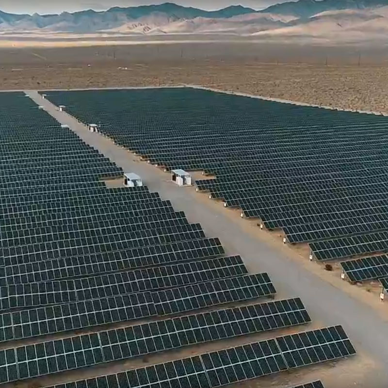
Drone services help developers lower costs in more ways than one—without cutting corners. With rapid assessments that save you from deploying dozens of workers for weeks on end, you’ll also avoid the dangers associated with physically mapping a site. Plus, the larger your project, the more you’ll benefit—drones don’t care how many acres you own.
Better Data, Better Decisions
With the best data, you and your team are equipped to make the best decisions. Now, you’ll never have to make the tough choice between “fast” or “accurate” again. With PXYZ, you’ll have true survey-grade data at your fingertips, helping your project meet even the most rigorous legal and engineering requirements.
Precision XYZ Services
Site Progress Monitoring
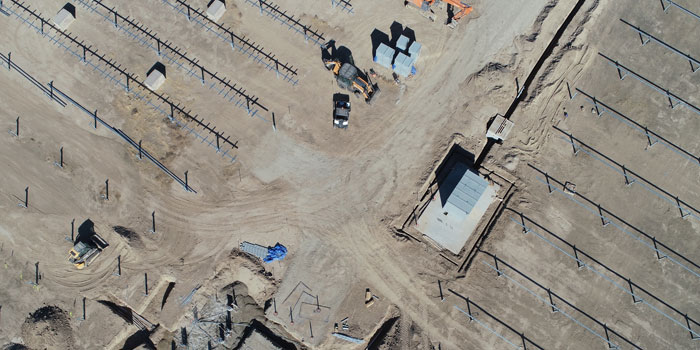
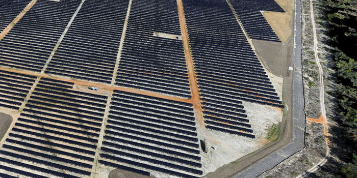
Manage progress across thousands of acres with weekly or monthly monitoring.
Thermal Inspections
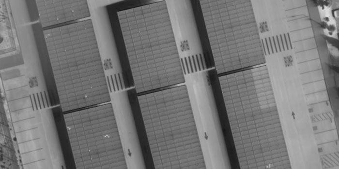
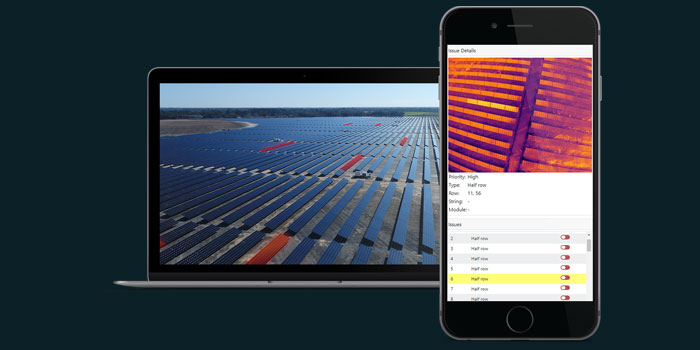
Accelerate project commissioning and improve asset performance with regular thermal scans.
Got a solar project?
Make your job a whole lot easier with better data. Let’s figure out how to make your asset more profitable.
Why should I pick PXYZ?
Exclusively Focused on the Solar Industry
When you choose PXYZ, you get a team that lives and breathes renewable energy as much as you do. With deep experience in aviation, drone operations and energy software development across the entire solar value chain, no other team knows the solar industry like ours.
Air-2-Ground App
Air-2-Ground is a breakthrough renewable energy data management platform, enabling stakeholders to construct a complete, historical system of record throughout your project’s entire solar lifecycle—from Development to EPC, Asset Management and O&M.
Available When and Where You Need Us
The sun is always shining somewhere, and solar projects are popping up all around the globe. Our network of global pilot operators works everywhere you do—from rooftops in Boston and Beijing to the deserts of the Middle East and the American Southwest.
Fast Data Processing
Our engineers and software are able to turn over project deliverables—from complete Construction Monitoring services to complex Thermal Analyses and Topographic Maps—with rapid, industry-leading turnaround time and unrivaled precision.
Lower Costs, Better Data
Garbage in, garbage out—never has this old saying been more true than the data collected for your average solar operation. Instead of costing your project big with false positives, leverage our robotics and software to drive down costs and manpower needs while increasing outputs.
Deep Financial Understanding
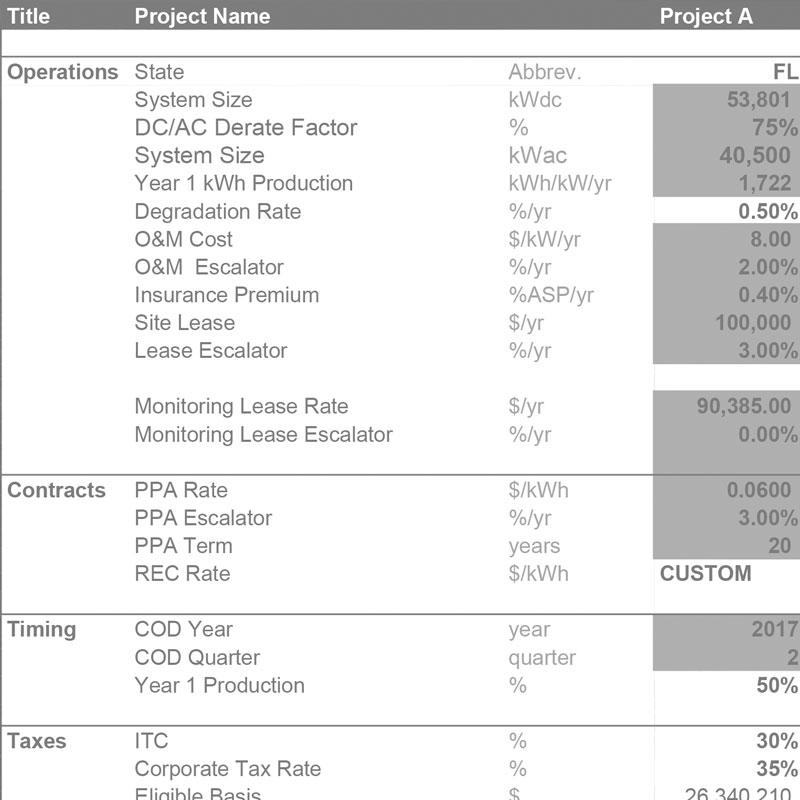
We understand the financial aspect of the solar industry—it’s why we build pro-formas for every project we work on, whether our client is a developer, an asset owner or an EPC firm. Regardless of where you are in the process, you’ll know exactly where our team adds the most value to your business.
Successful solar projects start here.
Get in touch with us now and find out how to really get your solar project off the ground.
